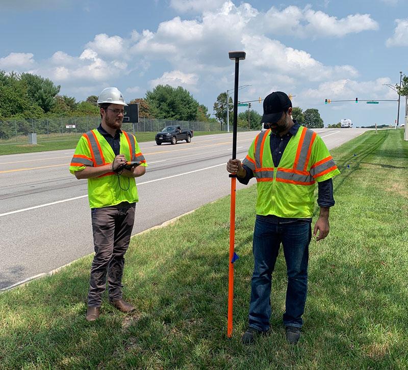
Collecting GPS data of pipelines is an important service for any utility company and their integrity management protocol. These protocols involve pipeline inspections and environmental risk assessments that identify dangerous settings for the community or the utility itself, based on factors such as population, infrastructure and soil corrosivity. To assess these factors properly, there must be accurate records of utility locations. As of July 2020, gas utilities are now required to have accurate records of pipe conditions, locations and specifications for their entire area of active service. Water lines are not exempt from causing destruction and those utilities benefit from surveying them as well. Engineering Design Technologies, Inc. (EDT) is partnered with clients in the Mid-Atlantic Region to survey their transmission mains to gather/verify pipe location and elevation data which is used to enhance their databases.
EDT collects this data in a time and cost-efficient manner. By surveying pipelines with a portable high accuracy GPS unit, EDT’s field team can complete over 5,000 feet per day on average while surveying the pipe with sub-foot accuracy. The surveys contain verification points of the pipeline features. These points can include manholes, valves or meters that are along the requested section. This is a great way to confirm accuracy and seamlessly merge EDT’s data with the clients’. In addition, EDT can make a complete map with geo-tagged photos of areas of interest as well as depth, material, feature type and size information. The surveying service is a great addition to EDT’s other field tests such as soil resistivity, stray corrosive electrical current and soil corrosivity analyses. These combined field tests obtain a more complete assessment of a pipe’s environment. Pipe failure forensic services, as well as other corrosion services are available .
Our database displays all our soil analyses, stray current graphs and resistivity heat maps in one convenient place for our clients to access online with a username and password. (https://edtgeodata.edtinc.net/samples/).
